Highland, United Kingdom

The Caledonian canal: connecting locks and seas

The Caledonian canal: connecting locks and seas

Démarrer Partager sur :
Téléchargez le parcours complet au sein de l'application GuidiGO
et utilisez-le sans connexion Internet.
Parcours interactifs pour smartphones et tablettes. En savoir plus
iPhone app, iPad app Android app

3 étapes

1

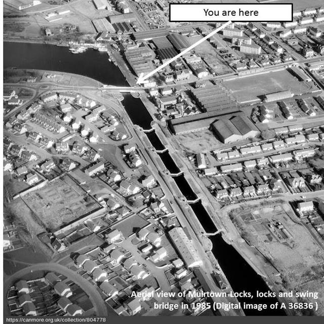
Where are we?: Geographical context

Let's take off to get a bird's eye view of where we are. Zoom in and out as you wish!

 
2

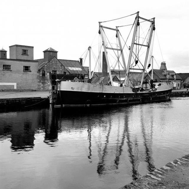
Canals in trade

Canals have long been a vital infrastructure for Scottish communities

 
3

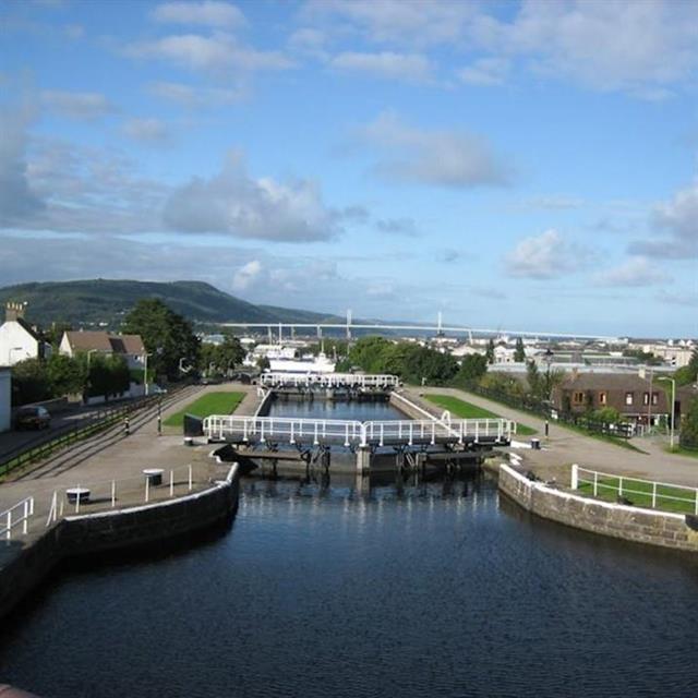
A stairway for boats

Canals are a marvel of engineering which have been improved throughout centuries


Description

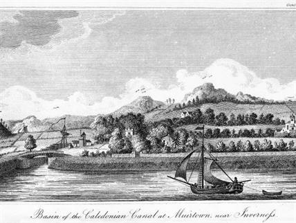
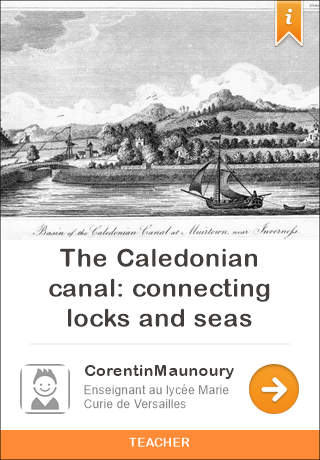
From the mid-17th century to the mid-19th century, British engineers thrived to improve their waterway network by building canals. Waterways were the easiest, fastest and safest ways to travel quickly, town after town, to the sea. The Caledonian Canal is one of them (Caledonia being the former name of Scotland). Built during the first half of the 19th century, it helped to create the conditions which sparked the Industrial (or one might better say: "industrious") Revolution by facilitating trade. Ironically, it was James Watt, the very engineer who embodied the technological interpretation of the Industrial Revolution, who made a survey of the route to estimate its feasibility. In 1847, 600 ton ships could navigate the 60 miles separating two seas, crossing 4 lakes and 23 miles of artificial waterways.

Itinéraire 246 m / 32 min

Carte disponible hors connexion

Vous créez des contenus ?

Publiez vos parcours sur smartphones et tablettes

Découvrez comment créer et distribuer facilement vos parcours sur la plateforme GuidiGO.

Démarrez ici
En cours…